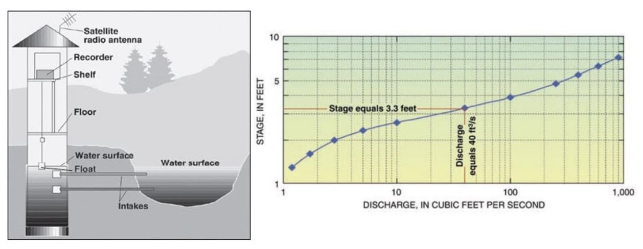
The most common instrument or gauge for measuring streamflow is one like that used by the U.S. Geological Survey (USGS). The USGS stream gauge provides continuous measurements of streamflow in cubic feet per second (cfs), and stream height or stage in feet.
Have you seen the type of equipment pictured below next to and in rivers in Ouray County?
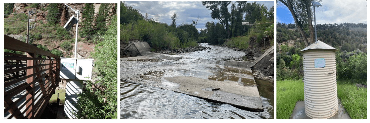
There are six stream gauges in Ouray County. Four are operated by USGS and located on the Uncompahgre River, one just north of Ouray next to a pedestrian bridge (pictured on left), one next to the CR24 bridge in Dallas Meadows, one just below the Ridgway Reservoir, and another in Colona. Another gauge is located on Dallas Creek, and the Colorado Department of Natural Resources operates a gauge on Cow Creek (pictured in middle and right).
Below on the left is a diagram of a USGS gauge using a stilling well to measure the stream stage. At right is the curve used to convert stage in feet to discharge in cfs. Once a curve is established for a stream cross-section, the only measurement needed to determine discharge is the stage height. Stream stage and discharge are recorded on-site at 15-minute intervals and transmitted to a central database where data are then made available online.